-

-
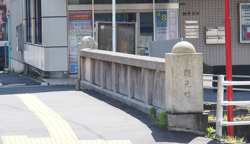
Kankōbashi Bridge
Spanning the Yahata River, the Kankōbashi Bridge was built in November 1937. The name is derived from the phrase Kankō Dōro (観光道路) (lit. sightseeing road), the name of the stretch of road from Koi to Miyajima. Located 2,560 meters from the hypocenter, the bridge sustained little to no damage.
Information
Kankōbashi Bridge
-
- Access
- Streetcar: take the 2 or 3 streetcar line (bound for Miyajima-guchi (宮島口) or Nishi-Hiroshima (西広島), respectively) and get off at Nishi-Hiroshima (西広島); it's a 1 minute walk from there.
-
- Distance from the hypocenter
- 2560m
-
- MAP
- Tap the name of the facility on Google Map and tap "View on Google Maps" to launch the application.